Motagua River
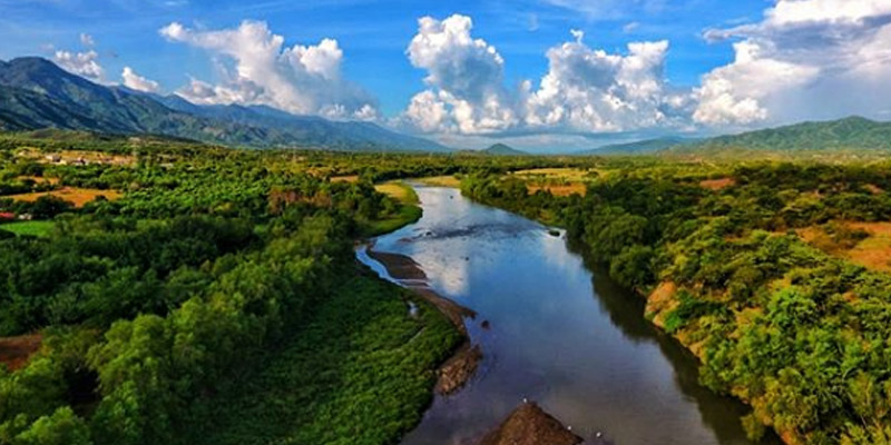
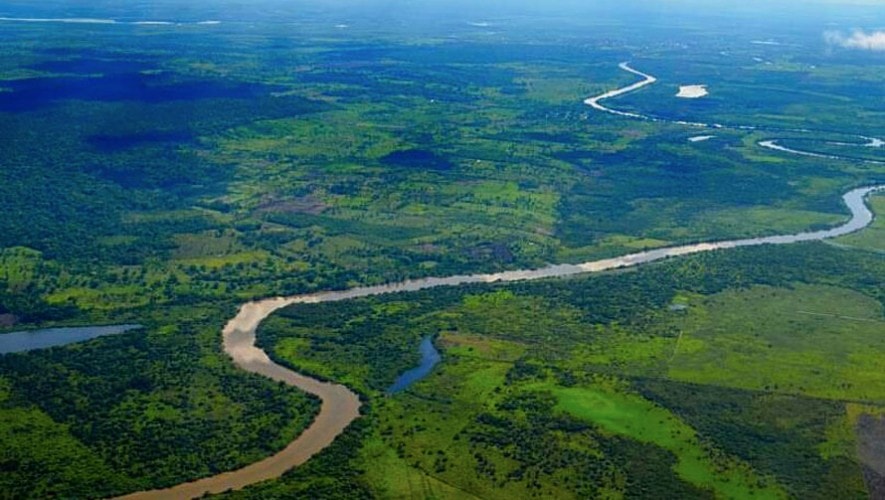
Motagua River, Spanish Río Motagua, rises in the central highlands near Chichicastenango. The Motagua is Guatemala’s longest river, measuring approximately 250 miles (400 km).
Navigable by shallow-draft boats for approximately 125 miles (200 km) upstream from its mouth, the Motagua is a major transportation artery for the bananas, coffee, and other fruits raised in the valleys of the eastern portion.
Flowing generally eastward and northeastward, it empties into Omoa Bay off the Gulf of Honduras at the Honduran border.
Dulce River
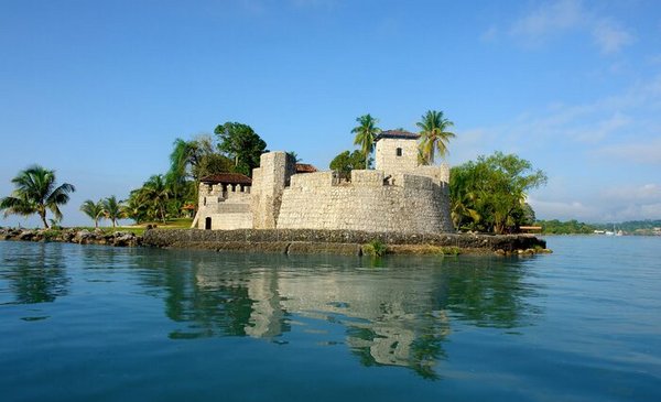
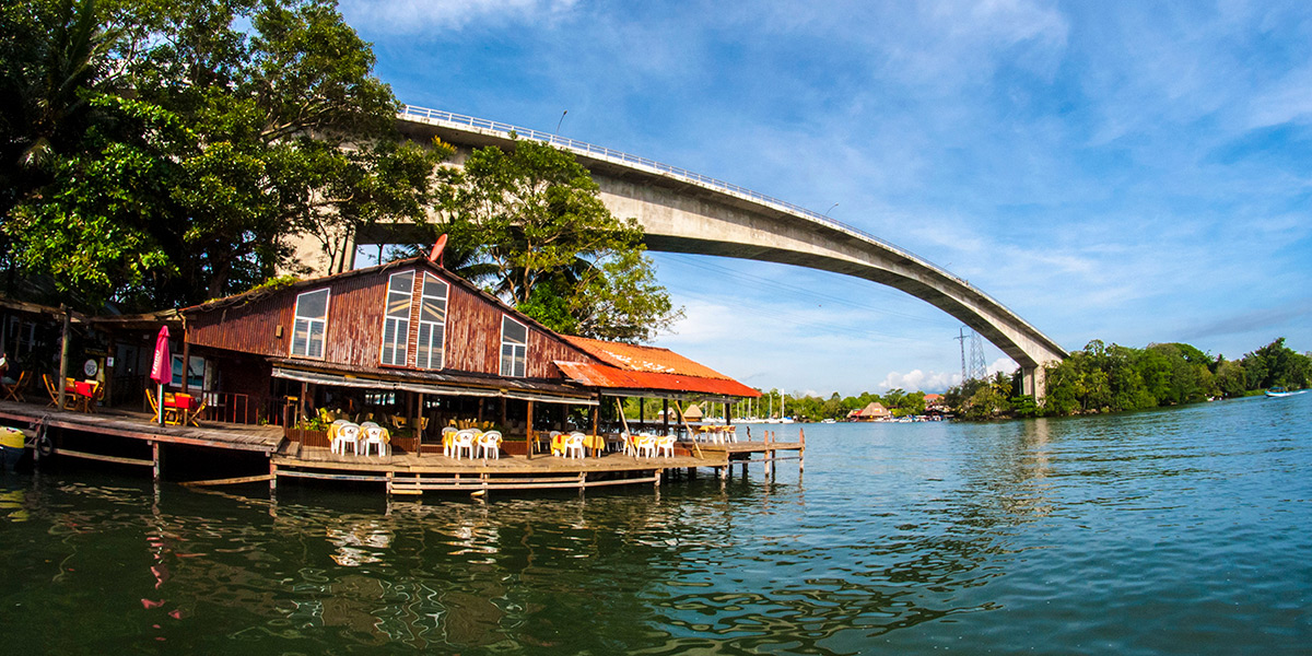
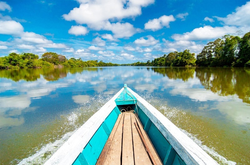
The Río Dulce area is part of the Guatemalan System of Protected Areas, according to article 88 of decree 4-89 of the Protected Areas Law, the name of this place is Río Dulce National Park and includes the double strip of 1 kilometer wide on both banks of the river, from the Castillo de San Felipe to its mouth into the Atlantic Ocean.
This national park is located in the department of Izabal and has been protected as an ecosystem since 1955.
La Pasión River
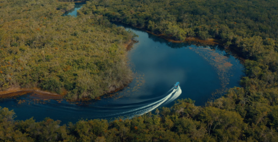
The Pasión River rises in the Sierra de Santa Cruz and flows through the western part of the Petén region in Guatemala. Its dense swamp and jungle habitats are home to crocodiles, iguanas, howler monkeys and several hundred endemic species of birds and fish.
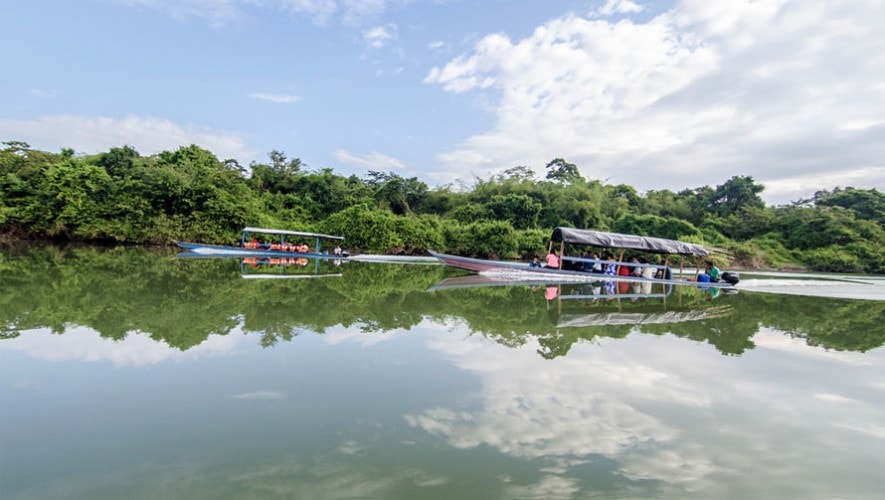
Most visitors explore the area as part of a guided tour from Flores. Tours typically include a scenic cruise upriver and a rainforest hike to the UNESCO World Heritage-listed Mayan ruins of Ceibal.
Cahabón River
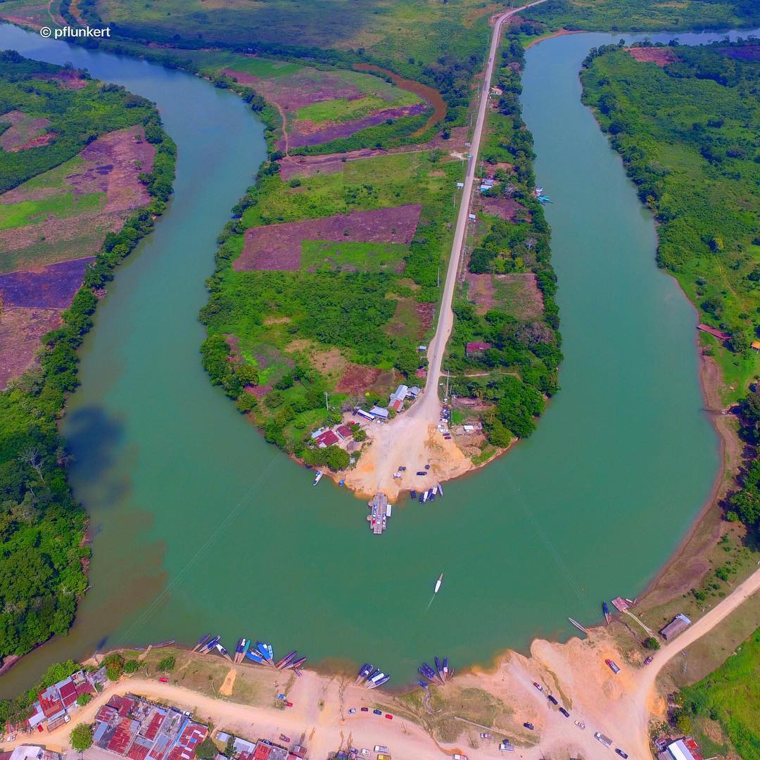
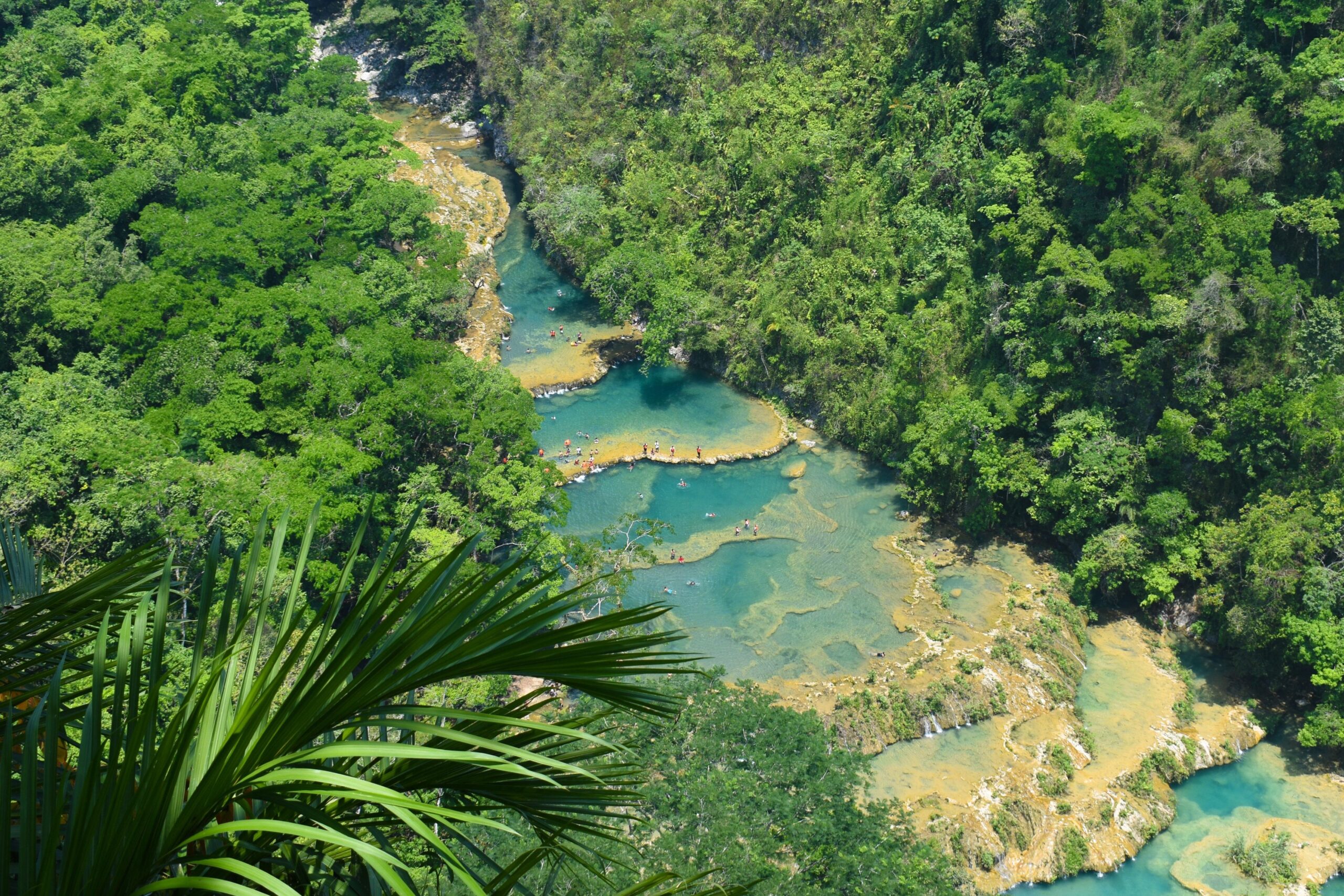
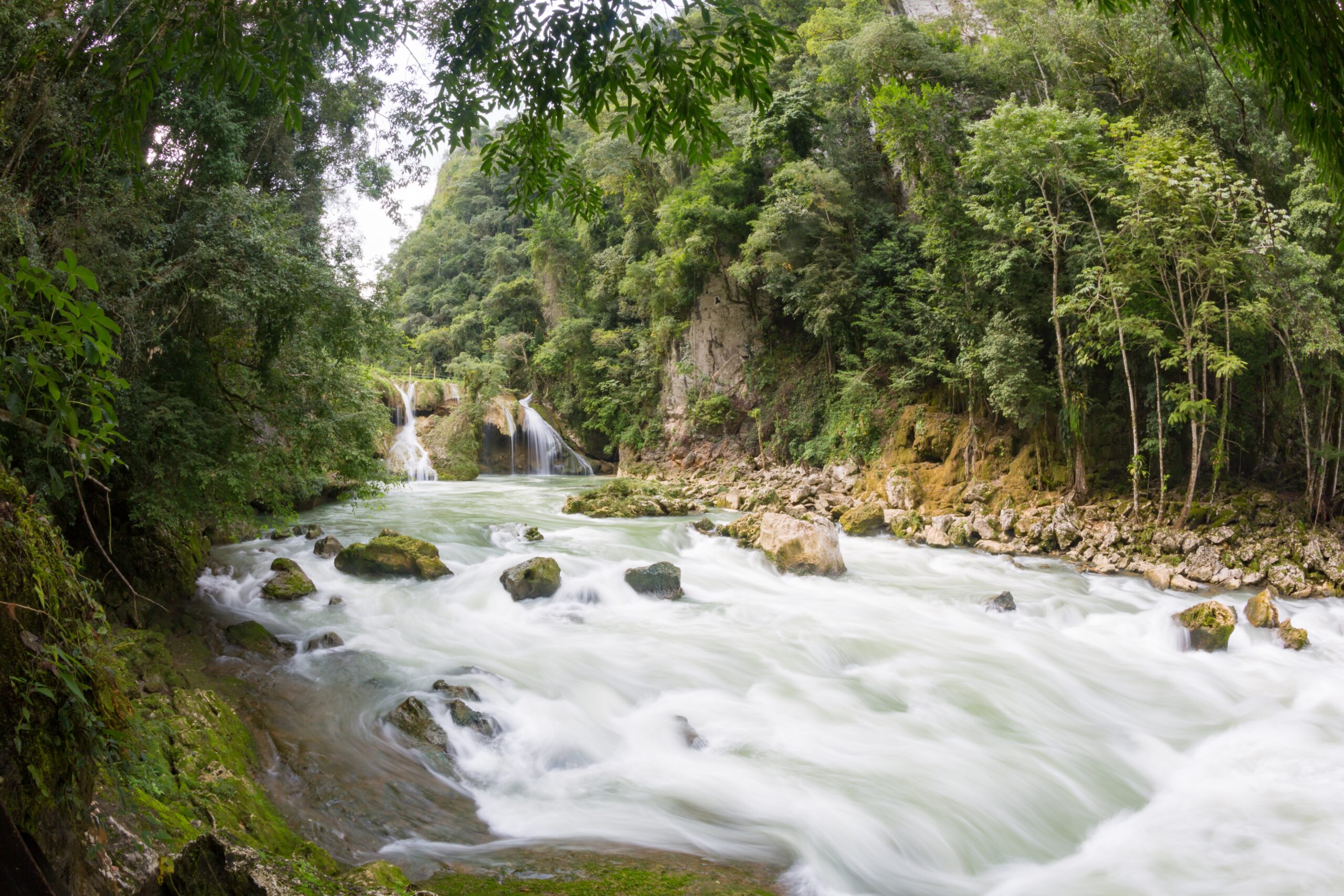
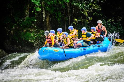
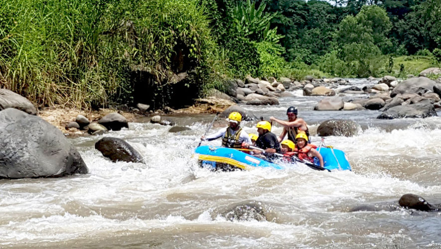
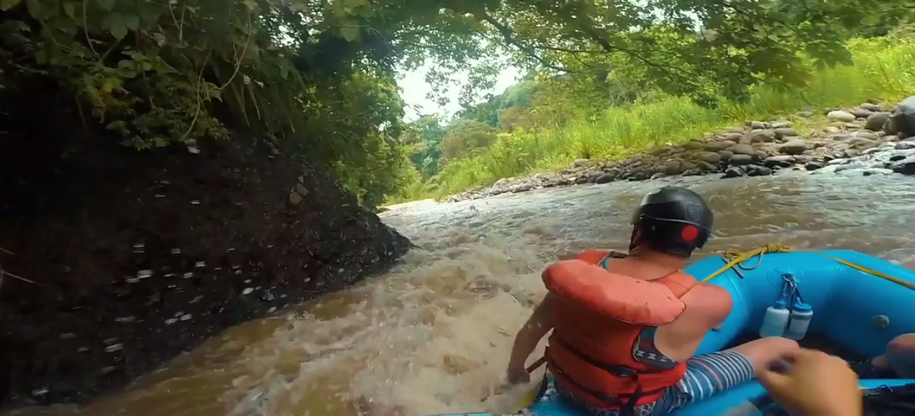
The Cahabón River is currently one of the main rivers in Guatemala. It crosses a large part of the department of Alta Verapaz and represents a tourist attraction for Guatemalans and foreigners.
History of the Cahabón River
In Mayan times, its shores were the site of numerous settlements. The water from the stream was used for human consumption and agricultural development. Tradition that some still follow.
Meaning of the name
Samalá River
The Samalá River is a short stream in southwestern Guatemala. It is located in the municipalities of Cantel, El Palmar, Ostuncalco, Quetzaltenango, Zunil, San Carlos Sija, Department of (Quetzaltenango); Retalhuleu, San Andrés Villa Seca, San Felipe, San Martín Zapotitlán, San Sebastián, Santa Cruz Muluá (Retalhuleu); Totonicapán, San Cristóbal Totonicapán (Totonicapan).
Coyolate River
It begins in the Sierra Madre, in the department of Chimaltenango and runs south, crossing the coastal plain in the departments of Suchitepéquez and Escuintla to empty into the Pacific Ocean. It has a length of 155 km. The Coyolate basin has an area of 1648 km².
Usumacinta River
The Usumacinta River in Guatemala is one of the most important basins in the country, since it is known as the largest river in Guatemalan territory. Likewise, it is part of the tributaries of the Gulf of Mexico slope, because it is a border river.
The Usumacinta River is an extensive water basin whose source is specifically in the department of Quiché. Likewise, the mouth of this flow is in the Gulf of Mexico. Of the total length of this river, 58% belongs to Guatemala.

